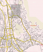
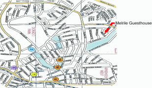
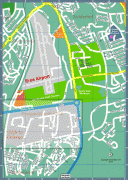
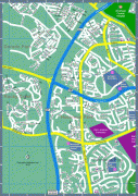
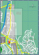
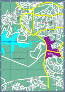
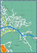
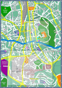
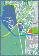
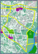
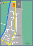
Map - Windhoek

Windhoek
Windhoek is the capital and largest city of Namibia. It is located in central Namibia in the Khomas Highland plateau area, at around 1700 m above sea level, almost exactly at the country's geographical centre. The population of Windhoek in 2020 was 431,000 which is growing continually due to a continued migration from other regions in Namibia.

Windhoek is the social, economic, political, and cultural centre of the country. Nearly every Namibian national enterprise, governmental body, educational and cultural institution is headquartered there.

The city developed at the site of a permanent hot spring known to the indigenous pastoral communities. It developed rapidly after Jonker Afrikaner, Captain of the Orlam, settled there in 1840 and built a stone church for his community. In the decades following, multiple wars and armed hostilities resulted in the neglect and destruction of the new settlement. Windhoek was founded a second time in 1890 by Imperial German Army Major Curt von François, when the territory was colonised by the German Empire.

 
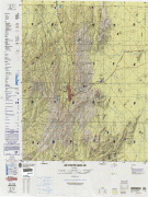
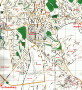
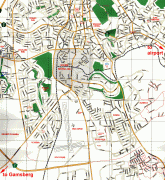
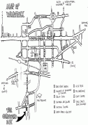
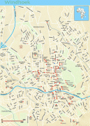
Map - Windhoek
Map
Google Earth - Map - Windhoek
Google Earth
Openstreetmap - Map - Windhoek
Openstreetmap
txu-oclc-224526849-s...
3959x5270
www.lib.utexas.edu
Windhoek-Tourist-Map...
2500x2725
mappery.com
Windhoek-Tourist-Map...
2500x2725
www.mappery.com
Windhoek-Backpacker-...
1971x2808
www.mappery.com
windhoek_1970.jpg
1426x2293
images.nationmaster....
Namibia-Hotel-Map.jp...
1450x1304
www.mappery.com
Karte_Namibia.jpg
1562x1178
www.hunting-portal-n...
windhoek.jpg
1123x1567
www.southern-africa....
carte1ecran.jpg
1024x1253
www.londiningi.com
map_large.jpg
1024x947
www.melrileguesthous...
windhoekmap-i.jpg
794x1120
www.map-of-namibia.c...
windhoekmap-e.jpg
791x1123
www.map-of-namibia.c...
windhoekmap-c.jpg
793x1120
www.map-of-namibia.c...
windhoekmap-a.jpg
793x1120
www.map-of-namibia.c...
windhoekmap-g.jpg
790x1124
www.map-of-namibia.c...
windhoekmap-g.jpg
790x1124
map-of-namibia.com
windhoekmap-f.jpg
791x1121
www.map-of-namibia.c...
windhoekmap-h.jpg
792x1119
www.map-of-namibia.c...
windhoekmap-b.jpg
789x1121
www.map-of-namibia.c...
windhoekmap-xindnthn...
789x1112
www.map-of-namibia.c...
Country - Namibia
Flag of Namibia
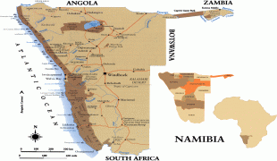
Namibia, officially the Republic of Namibia, is a country in Southern Africa. Its western border is the Atlantic Ocean. It shares land borders with Zambia and Angola to the north, Botswana to the east and South Africa to the south and east. Although it does not border Zimbabwe, less than 200 metres (660 feet) of the Botswanan right bank of the Zambezi River separates the two countries. Namibia gained independence from South Africa on 21 March 1990, following the Namibian War of Independence. Its capital and largest city is Windhoek. Namibia is a member state of the United Nations (UN), the Southern African Development Community (SADC), the African Union (AU) and the Commonwealth of Nations.

The driest country in sub-Saharan Africa, Namibia has been inhabited since pre-historic times by the San, Damara and Nama people. Around the 14th century, immigrating Bantu peoples arrived as part of the Bantu expansion. Since then, the Bantu groups, the largest being the Ovambo, have dominated the population of the country; since the late 19th century, they have constituted a majority. Today Namibia is one of the least densely populated countries in the world.
Currency / Language  
ISO Currency Symbol Significant figures
NAD Namibian dollar $ 2
ZAR South African rand Rs 2
Neighbourhood - Country  
  •  Angola 
  •  Botswana 
  •  South Africa 
  •  Zambia 
Administrative Subdivision
City, Village,...